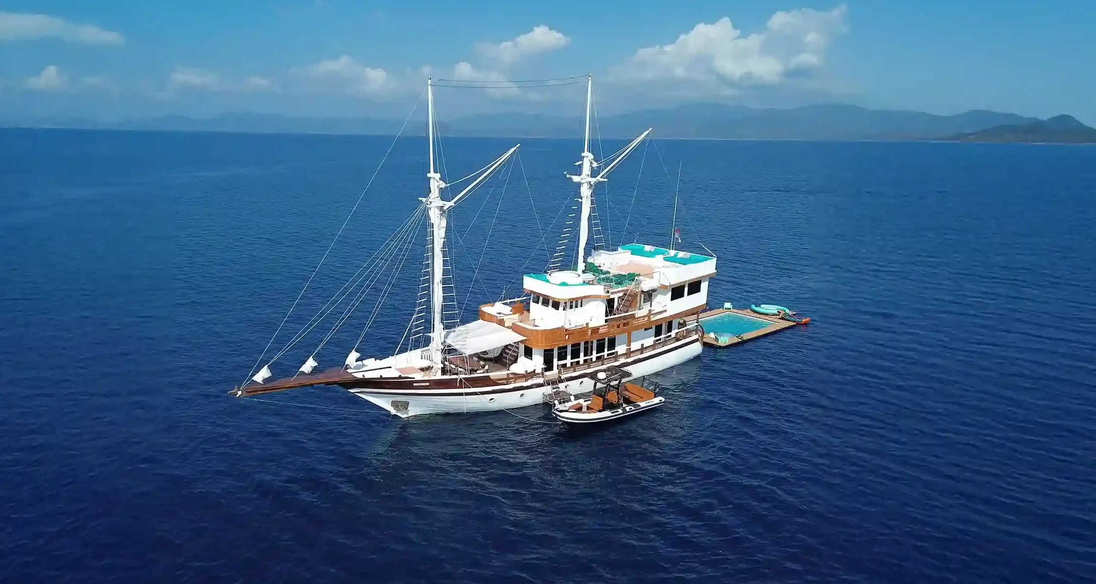
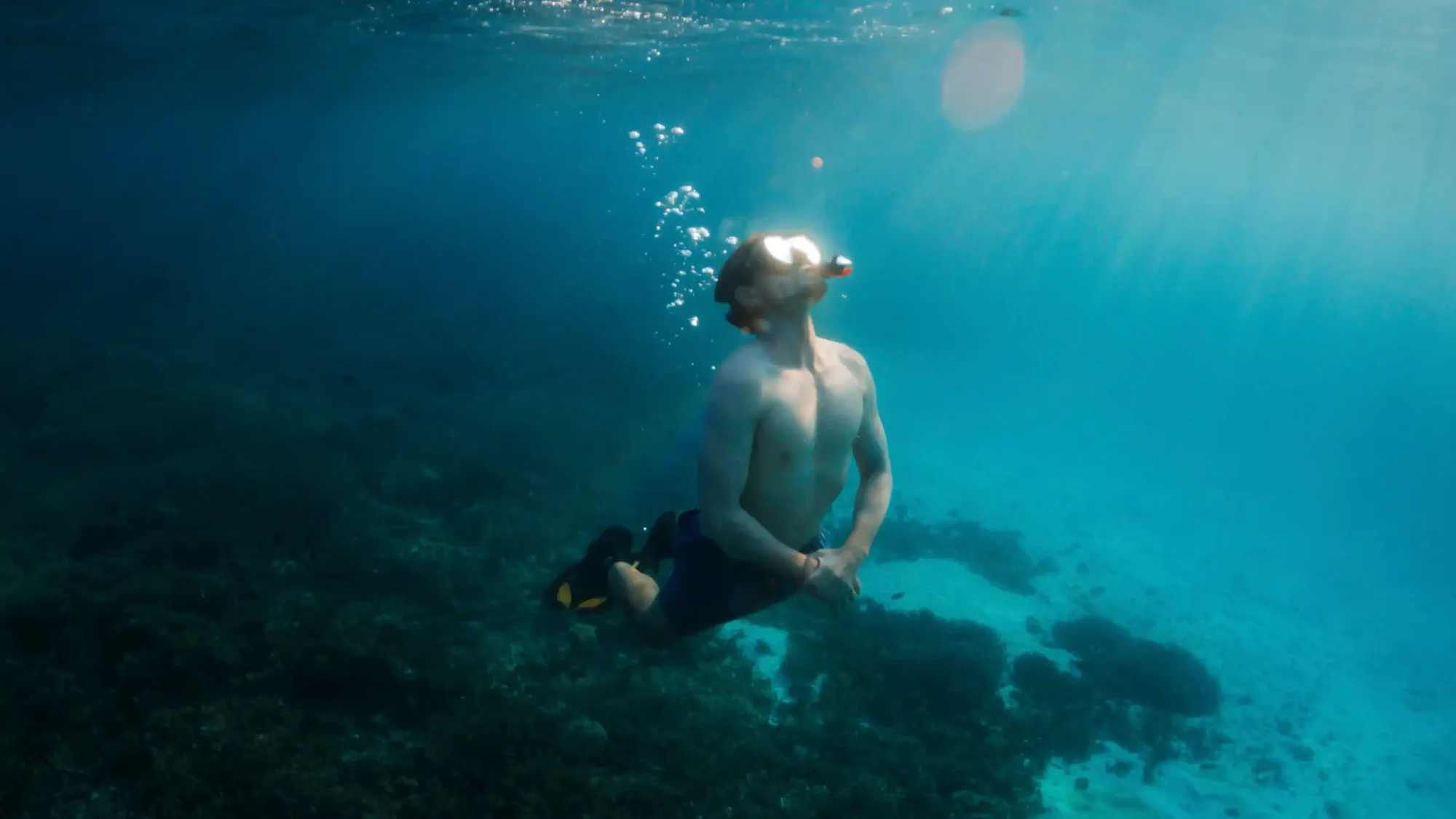
Virtual Previews of Komodo National Park
Answer: There is no dedicated, official VR tourism product for Komodo National Park that we can point to and verify. What genuinely exists and is useful for trip planning is 360-degree photography, drone footage, and video content from operators and travellers, which gives a realistic preview of Padar’s viewpoint, dragon terrain, and reef conditions before you book.
Source check, 26 August 2026: “Virtual Previews of Komodo National Park” draws on Komodo Luxury’s published rates, and any conflict between those sources is shown to you rather than resolved silently.
Does Komodo National Park have an official VR experience?
Not that we could verify. We did not find a park-authority-run or widely recognised dedicated virtual-reality tourism product for Komodo specifically, and this page will not claim one exists to sound more novel than the current reality supports. If a legitimate VR product for the park launches in the future, we will update this page to reflect it with a proper source.
What genuinely useful virtual previews exist today?
- Drone footage — widely available from tour operators and independent creators, giving an accurate aerial sense of Padar’s three-bay viewpoint and the park’s island geography.
- 360-degree photography — some travel and mapping platforms host panoramic images from popular viewpoints, viewable on a phone or basic VR headset if you have one, though this is user-generated content rather than an official park product.
- Standard video content — operator and traveller video covering dragon treks, boat crossings, and dive sites gives a realistic preview of pacing, terrain difficulty, and water conditions.
Why does this matter for trip planning?
A realistic video or photo preview sets expectations better than a polished highlight reel: how steep Padar’s trail actually looks, how close a typical dragon sighting really is, what Pink Beach’s water clarity is on an average day. That is the useful part. If you are deciding between islands or gauging whether a hike suits your fitness, searching out recent traveller video of the specific stop tells you more than a VR gimmick would, even if one existed.
Is there value in immersive content even without true VR?
Yes. A 360-degree photo viewed on a phone, or even a well-shot drone video, communicates scale and terrain far better than static images. It is genuinely useful preparation before booking a trek or a dive. The absence of a dedicated VR product does not mean there is no good way to preview the park — it means the honest framing is video and photo preview, not virtual reality tourism.
What should you be skeptical of when researching this online?
Be cautious of any site or listing claiming a specific “Komodo VR tour” product without naming who operates it, how you’d access it, or providing a real, checkable link — this is exactly the kind of unverifiable claim this site’s research methodology is designed to flag rather than repeat. A vague claim referencing “2027 VR tourism” without a named provider is a signal to verify independently before treating it as real.
Why does this page exist if the answer is largely “no product exists”?
Because the search term itself is real. People do look for VR previews of Komodo National Park, and the most useful answer is a direct one plus a genuinely useful alternative — rather than ignoring the query or inventing a product to look more comprehensive. That is consistent with how this site handles other gaps in verifiable data: say what is confirmed, say what is not, and point to what actually helps.
What should a genuinely useful future VR product for Komodo look like?
If one is developed by the park authority or a credible tourism body, the most valuable version would likely combine accurate 360-degree footage of key viewpoints and trek terrain with clear safety and etiquette briefing content, rather than a purely entertainment-focused experience. Until such a product is named and verifiable, this page will continue to point toward real video and photo content as the practical substitute.
How to use real Taka Makassar and Cunca Wulang visuals for planning
If you are judging Taka Makassar or Cunca Wulang from home, treat online visuals as reconnaissance rather than a finished VR experience. Both places are heavily photographed. Angles, seasons and water levels differ a lot from what you will actually meet on the day.
Making sense of Taka Makassar aerial and drone-style shots
Most Taka Makassar photos you find are taken from above, showing the sandbar as a long white curve in shallow turquoise water. Use these to understand that it is a very small, tide-dependent bank with no shade. What they rarely show is how busy it can get or how quickly it disappears on a high tide.
When you compare several aerial sets, look for the horizon and nearby islands to guess the time of day and swell. Very flat, mirror-like water usually means calmer dry-season conditions. Choppier surfaces suggest windier days when boat crossings feel rougher, especially around December to February.
Reading Cunca Wulang waterfall and canyon photos
Cunca Wulang imagery is your best virtual preview for judging whether the walk and swimming spots suit you. Focus on the rock colour, the width of the canyon and how much water is actually flowing. Dry-season photos can show a gentle cascade and clear pools. After heavy rain, the water can be higher, faster and brownish.
Look for recent captions that mention whether cliff-jumping was allowed on that visit, as rules can change with safety assessments. Also check visitors’ footwear and wet or muddy clothes to gauge how slippery the access path might be at different times of year. This is far more useful for planning than any stylised promotional shot.
Frequently asked questions
Can you do a VR tour of Komodo National Park before visiting?
Not through a verified official product as of this writing. Drone footage, 360-degree photos, and standard video content are the genuinely available ways to preview the park.
Are there 360-degree photos of Padar’s viewpoint online?
Some travel and mapping platforms host user-submitted panoramic images from popular viewpoints like Padar, though these are traveller-generated rather than an official park product.
Should I trust a website claiming a specific Komodo VR tourism product?
Verify independently first — check whether the claim names a specific, checkable provider and access method rather than a vague future-tourism description.
How reliable are Taka Makassar drone-style photos for planning a visit?
Aerial photos of Taka Makassar give a good sense of its shape, size and how tide-dependent it is, but they often skip crowds, boat congestion and changeable weather. Use them to understand that it is a tiny, exposed sandbar with no shade, then combine that with tide and season information from your boat operator.
What should I look for in Cunca Wulang waterfall and canyon pictures?
Check how much water is flowing, the colour of the pools and the rock surfaces. Full, brown water suggests recent heavy rain and stronger currents. Clear green pools usually mean calmer conditions. Also notice people’s footwear, wet clothes and lifejackets to judge how slippery the trail and how deep the swimming sections might be.
Can photos of Cunca Wulang replace an in-person safety check on arrival?
No. Photos help you understand the general terrain and typical water levels, but conditions can change quickly with rain upstream. Treat images as background information only. On the day, follow your local guide’s advice on whether swimming, cliff-jumping or walking into narrower parts of the canyon is safe.
How can you find genuine, recent traveller video before you book?
Search video platforms for the specific stop you’re evaluating (for example, “Padar Island hike” or “Rinca dragon trek”) rather than a generic “Komodo National Park” search, and filter or sort for recent uploads, since terrain, water clarity, and even trail conditions can shift year to year. Cross-check what you see against operator-provided itinerary descriptions to make sure the video actually matches the specific stop and route you’re planning to book, not a superficially similar location elsewhere in the park.
What about official tourism board photography or footage?
Indonesia’s national and regional tourism promotion bodies do produce and share official photography and video content covering Komodo National Park, which is a more reliable source for accurate representation than an unverified third-party site claiming a novel “VR” product. This still falls under standard photo and video content rather than an interactive or immersive VR format, and is worth treating as a genuine, if conventional, planning resource.
See the real thing instead
For current trips that put you at these viewpoints in person, see the Komodo boat tour page.
Related Komodo Luxury pages: Komodo liveaboard · One-day trip.